Summary:
Statistically speaking, this past winter as a whole did not rank high on warmth, cold, snow, lack of snow, wetness, or dryness. However, as always, there were some noteworthy storms and temperature swings. Precipitation was near to slightly below average with slightly to moderately below average snowfall for most. Snowfall was slightly to moderately below average for most, though there were some notable storms. Temperature-wise, a mild December, especially in southern areas; one of the coldest Januaries of the century, especially in northern areas; and a near average though highly variable February led to a slightly warmer than average winter in southern areas and slightly colder than average winter in northern areas. Spring arrived early with a mild March with below average snowfall for most, despite slightly above average precipitation.
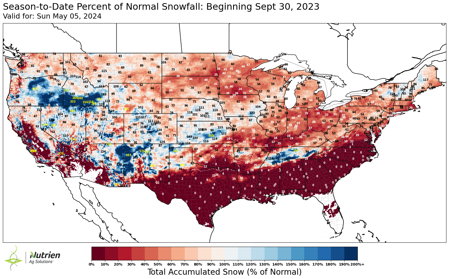 |
| Source: Ag Solutions |
Detailed analysis:
November:
The first half of November was rather mild but not exceptionally so. Little if any snow fell at lower elevations, as usual. It turned colder for the second half of November, even relative to the falling climatological average, with an elevation-dependent snowstorm on the 26-27th that brought 1-4" (3-10 cm) at lower elevations and up to 8-12" (20-30 cm) in the higher terrain, mostly from western Maine on west.
 |
| Source: CoCoRaHS |
December:
December started off with an Alberta clipper passing off to the northwest on the 2nd with light rain and snow across the region. It then turned colder with light snow on the 4th, but no major storms occurred. Another storm with somewhat more moisture passed off to the northwest on the 6th, with a brief period of snow and ice pellets/sleet changing to light freezing rain and then rain, especially north of the U.S./Canada border and in northern Maine. Precipitation was mainly rain south of there.
It briefly turned colder behind that storm before a major warm up occurred in the middle of the month, with temperatures reaching 59F (15C) or higher in lower elevations. It was especially warm on the 11th and 16th with storms passing off to the northwest, bringing very warm air from the southwest. Some rain fell but not particularly much as most of the upper-level support passed off to the north.
It turned somewhat colder afterwards, but it was still rather mild with warm air always remaining close by to the south. A shot of colder air on the 17-18th was timed perfectly with a weak storm from the southwest bringing some Gulf of Mexico moisture, producing 4-8" of snow (10-20 cm) across northern New England, with some mixing with ice pellets/sleet and freezing rain in far southern areas.
 |
| Source: CoCoRaHS |
After a clipper passing off to the northwest on the 20th, producing little if any precipitation in the region, and a strengthening storm offshore bringing snow and freezing rain to Maine on the 22nd, there was a brief cold shot. Following that, there was an extended period of overrunning of the warm, moist air from the south above the low-level cold air north of the U.S./Canada border, but without any particularly strong storms. This pattern led to light snowfalls north of the U.S./Canada border and in northern Maine and mixed precipitation farther south on the 25th and 28th.
With several surges of mild air and arctic air being confined to the north, it was substantially warmer than average, especially in southern areas. Precipitation was slightly above average for most except near average in the Champlain Valley, with below-average snowfall as precipitation fell mainly as rain.
January:
January started off mild, a continuation of the mild December pattern, but an approaching arctic air mass combined with a storm moving northeastward out of Texas from January 1 to 2 led to a modest accumulating snow of 2-6" (5-15 cm) in northwestern New York, far northern New England, far eastern Ontario, and southern Quebec, with rain changing to a wintry mix and then a little snow at the end farther south. A strengthening Nor'easter right afterward missed to the south.
After a shot milder air from the 4th to the 6th, the pattern changed substantially, with repeated blasts of arctic air impacting the region. A strengthening coastal storm brought heavy snow to eastern Maine on the 7th but only light snow to the west as it got going too late. An arctic air mass followed, with a brief thaw on the 9th before another even colder arctic air mass arrived on the 10th and 11th. Another arctic air mass arrived on the 15th, which set the stage for the most widespread snowstorm of the month.
A strengthening Nor'easter on the 17th took an unusually far west track, from North Carolina into Pennsylvania, and then into Vermont and the eastern townships of Quebec. This track meant that the heaviest snow fell over eastern Ontario, far northwestern New York, and the Laurentians north of Montreal, where a frontogenetic band on the northwest side of the storm sat for hours and up to 20" (50 cm) fell! Areas to the east received much less, with <6" (15 cm) in lower elevations, with most of the snow falling in a 6-hour period from the initial warm-advection phase. One exception was Vermont, which also received snow from the upper-level low afterwards and many locations received 6-12" (15-30 cm) with some higher amounts in the higher terrain. The track also meant that the snow changed to sleet/ice pellets and then rain east of the Appalachians, though the strength of the cold air ahead of it limited the rainfall.
 |
| Source: CoCoRaHS |
The rest of January was mostly dry with alternating arctic air masses and moisture-starved Alberta clippers passing to the north. This was the coldest part of the winter, even relative to average which is already at its coldest during this time. A couple of nights reached below -22F (-30C) or lower outside urban areas. A very strong Nor'easter brought a blizzard to Maine and eastern New Hampshire on the 29th with 10-16" (25-40 cm) in many areas, but it remained dry and very cold to the west.
 |
| Source: CoCoRaHS |
With the repeated cold, dry arctic air masses and only one major storm affecting inland areas, inland areas were much drier than average for January. However, it was the coldest January since 2009 or 2004 for most. Snowfall ranged from below average in Vermont, near average to the northwest, and above average in Maine and New Hampshire, which was exception to the dryness as they were far enough east to receive heavy snow from the two coastal Nor'easters.
February:
The pattern changed heading into February, with a thaw from the 1st to the 3rd. However, a very strong temperature gradient developed between an arctic air mass to the north and very warm, moist air to the south. An elongated low-pressure area developed along the boundary and moved northeastward, and after light rain beforehand, it brought a narrow area of prolonged, heavy snowfall of 12-18" (30-45 cm) in northern New York and northern New England, with lesser amounts in eastern Ontario and southern Quebec. This heavy snowfall is a
bit unusual for a weak, elongated low-pressure system, but it indicated the abundant
Gulf of Mexico moisture available to it. An even narrower area of heavy sleet/ice pellets and freezing rain occurred from southern Vermont to southern Maine.
 |
| Source: CoCoRaHS |
Other than a weak coastal storm bringing light to moderate snow in New Hampshire and Maine on the 8th, the following two weeks consisted of alternating arctic air masses and Alberta clippers tracking to the northwest bringing brief but pronounced mild surges. Very little precipitation fell during this period.
From the 16th to the 18th, a very similar pattern from the 1st to the 3rd developed, with a thaw followed by a storm riding along a strong temperature gradient. However, this time, the storm was stronger and less elongated, and the gradient was positioned 100-150 miles (150-250 km) to the north. This resulted in the narrow heavy snow area of 8-12" (20-30 cm) falling over eastern Ontario and southern Quebec along and north of the St. Lawrence River. Farther south, rain changed to a period of ice pellets, heavy at times, and then snow, with accumulations under 3" (8 cm) in most areas.
 |
| Source: CoCoRaHS |
An arctic air mass followed for one day, and then an Alberta clipper passing to the northwest brought snow showers and squalls on the 19th, especially outside the Champlain Valley which got downsloped by the Adirondacks in the southwesterly flow. It turned rather mild over the next several days, especially in southern areas, with an arctic air mass established over Quebec never able to penetrate southward. A storm cutting into the Great Lakes on the 22nd brought rain and even warmer air south of the U.S./Canada border but freezing rain north of there where the low-level arctic air mass was stubborn. All-time record highs for February were approached or broken in eastern Maine on the 23rd right ahead of the cold front. An arctic air mass followed, providing the perfect overrunning setup for a weak storm approaching from the southwest on the 25th which brought a widespread 6-12" (15-30 cm) for almost the entire region except northern Maine and areas of Quebec north of Montreal. More arctic air followed the storm, with another Alberta clipper passing to the north bringing more snow showers and squalls on the 27th.
 |
| Source: CoCoRaHS |
With three major storms, February was the wettest winter month since January 2020 for most, with slightly above average snowfall. This is notable given that February is on average the driest month of the year. Temperatures fluctuated wildly, but averaged out, ranged from slightly below climatological average in northern areas to slightly above in southern areas.
March
The first 2 days of March featured two Alberta clippers, both of which producing light to moderate snow in far northern New England, eastern Ontario, and southern Quebec. The Champlain Valley received less than other areas from both due to downsloping off the Adirondacks, while the Montreal area received enhancement from the St. Lawrence/Champlain valley convergence zone during the first clipper. An impressive arctic air mass followed the second clipper for a few days, but a series of two storms cutting into the Great Lakes on the 6th and the 7th brought much milder air and rain, especially south of the U.S./Canada border. Parts of southern Quebec north of Montreal and northern Maine saw freezing rain early on the 6th, and eastern Ontario and southern Quebec received a brief period of light to moderate snow on the back side of the second storm on the 7th.
 |
| Source: CoCoRaHS |
Colder air followed, with a weak coastal storm missing to the south on the 9th and then a two-part snowstorm occurred on the 11th into the 12th. A weak elongated low initially moved into upstate New York and caused snow to fall in eastern Ontario into the Laurentians with locally up to 6" (15 cm) along a stalled heavier snow band. A coastal storm then took over on the 12th and rapidly strengthened as it moved into eastern Maine. Heavy snow of 6-12" (15-30 cm) fell to the northwest of the track from upstate New York into Vermont and then western Maine and the eastern Townships of Quebec. Snow was also elevation-dependent, with the Champlain Valley starting as rain before changing to snow. There was a "rip-off" zone in between these two zones of heavy snow, which centered over far southern Quebec. The storm also caused temperatures to drop quickly on the 12th.
 |
| Source: CoCoRaHS |
After the snowstorm, it quickly turned mild, with a few minor mainly rain events for the following two weeks. (Rain changed to wet snow for southern Quebec north of Montreal early on the 25th with minor accumulations in the St. Lawrence Valley and more substantial accumulations in the Laurentians to the north). An unseasonably cold air mass settled in on the 27th and 28th with widespread snow showers and near record cold high temperatures. Accumulations ranged from a dusting to 1" (2 cm) in the valleys and up to 6" (15 cm) in the higher terrain. After some light snow and ice pellets/sleet associated with a warm front on the 30th with little or no accumulation for most, it turned much warmer on the 31st.
With arctic air masses being brief in March, temperatures were above average, again especially in southern areas. Precipitation was slightly above average for most, with generally below average snowfall except areas in the heaviest snow swath during the storm on the 12th.
April
After some higher terrain snow showers on the 1st and the 3rd-4th (with some valley locations getting a dusting on the 4th), a fairly wet pattern ensued, with substantial precipitation on the 7th, 9th, and 13-14th. With fairly mild temperatures, precipitation was generally all rain except at very high elevations.
However, winter made one last major appearance on the 19th. After a cold shot accompanied by snow showers with no accumulation in the valleys on the 17th, a Nor'easter developed late on the 18th and strengthened as it quickly tracked northeastward very close to the East Coast. This occurred in tandem with a weakening primary low over the Great Lakes that expanded the precipitation shield. Though temperatures were warm enough in most areas for precipitation to start as rain, the Nor'easter produced a very heavy frontogenetic band that lifted to the north, and the dynamic and evaporative cooling changed the rain to a heavy, wet snow everywhere, even in the valleys. The jackpot was in the Adirondacks, Catskills, and Laurentians just northwest of Montreal, which were in the perfect spot to receive the heavy frontogenetic snow band for the longest and are in higher elevations, where 6-12" (15-30 cm) was widespread with isolated amounts of up to 18" (45 cm). The St. Lawrence and Champlain valleys received up to 4-6" (10-15 cm), and areas east of the Green and White Mountains received little or no snow.
 |
| Source: CoCoRaHS |
Finally, a chilly upper-level low moved into the region on the 27th, and the associated precipitation and dynamic cooling caused rain to change to snow for most, even at lower elevations. However, the system was fast-moving and did not strengthen until reaching the New England coast, so little or no accumulation occurred below 1000 ft (300 m), except in a small area of eastern Ontario in the morning when the snow was briefly heavier. When the system reached the New England coast, it strengthened and slowed down, causing more persistent and accumulating snow of up to 4-6" (10-15 cm) Wednesday night into Friday for the higher terrain of northern and western Maine, northern New Hampshire, northeastern Vermont, and the Eastern Townships of Quebec east of Sherbrooke. Afterwards, as the storm slowly pulled away and weakened, the snow changed to rain and faded. For virtually the entire region, this was the last snow, with it turning drier and milder afterward.
No comments:
Post a Comment